Our Location

ACTIVITIES, PROGRAMS AND PROJECTS

Tourism Development
Stay & Visit
Discovering the hidden archaeological remains on our specially organized trails
Museum and Exhibition
Learn & Understand
Archaeological Works
Research & Restore
Vat Phou - International cooperation : Lao-French / Lao-Korean / Lao-India restorations programs of ancient temples and Excavations
Heritage protection
Preserve & Protect
Preservation and Protection of cultural heritage

Vat Phou and Associated Ancient Settlements within the Champasak Cultural Landscape - (extracts from UNESCO's website). The Champasak cultural landscape, including the Vat Phou Temple complex, is a remarkably well-preserved planned landscape more than 1,000 years old. It was shaped to express the Hindu vision of the relationship between nature and humanity, using an axis from mountain top to river bank to lay out a geometric pattern of temples, shrines and waterworks extending over some 10 km. Two planned cities on the banks of the Mekong River are also part of the site, as well as Phou Kao mountain. The whole represents a development ranging from the 5th to 15th centuries, mainly associated with the Khmer Empire.

Read more (UNESCO's webpage)


Open everyday :

8:00am - 5:00pm for the site / 8:00am - 4:30pm for the museum

From 6:00am to 8:00am and from 4:30pm to 6:00pm, an entrance ticket can be bought at the main gate.Possibility of visiting the site outside opening hours :

Admission for site and museum :    Foreigner : 50 000 LAK   -  Lao people : 20 000 LAK

Entry outside normal hours :            Foreigner : 55 000 LAK    - Lao people : 25 000 LAK

Electric car service is included. Free admission for monks, children under 10 years old and disabled persons.

The ticket is valid for a whole day. 

YCC Watphu logo1

Vat Phou - Presentation

Map of Vat Phou - Henri Parmentier - EFEO - 1914

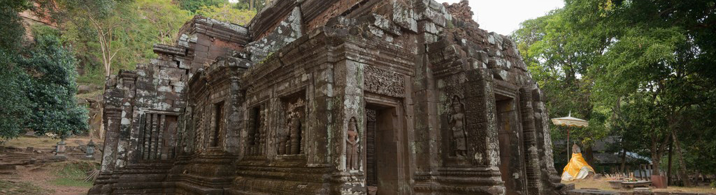
Inscriptions from to the 5th and 6th centuries mention a sanctuary built on the mountain, during the same period as the foundation of the city. This sanctuary has disappeared and has been replaced by the religious complex we see today. This complex was built during the first part of the 11th century, with some additions and reconstructions from the 12th and 13th centuries. 

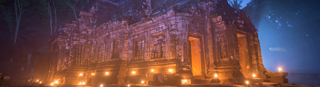
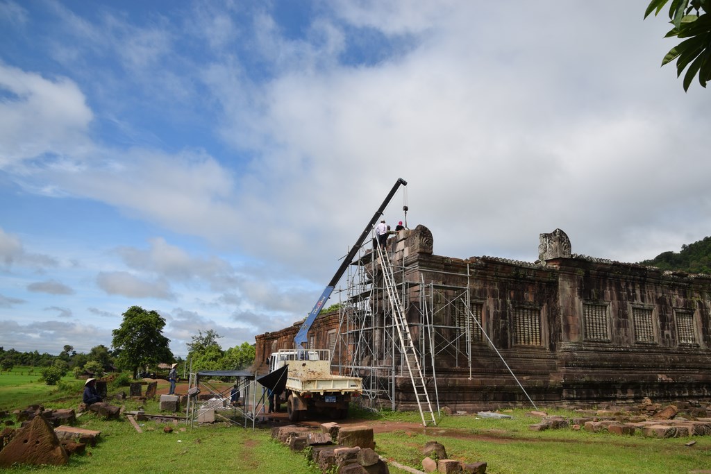
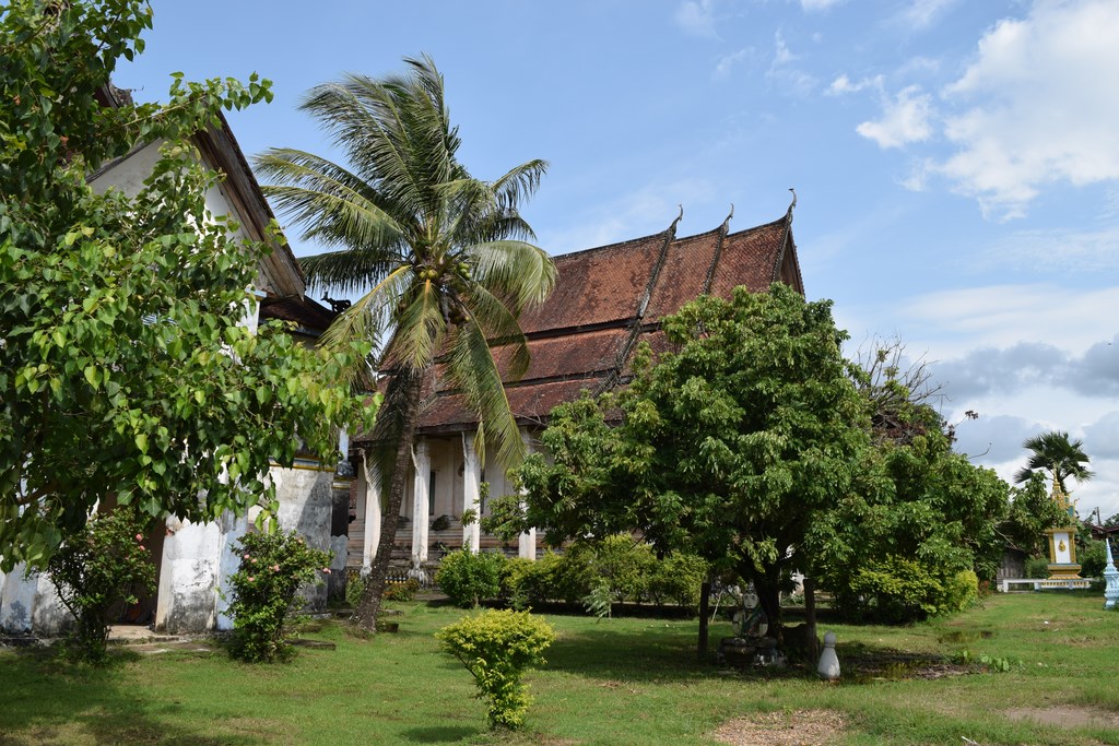
Built along an East-West axis, it extends over 1.4 km and climbs up the slope, starting from the plain and ending about 100m above, where the main sanctuary is situated. The main sanctuary is located on a terrace at the foot of the cliff where the sacred spring flows.

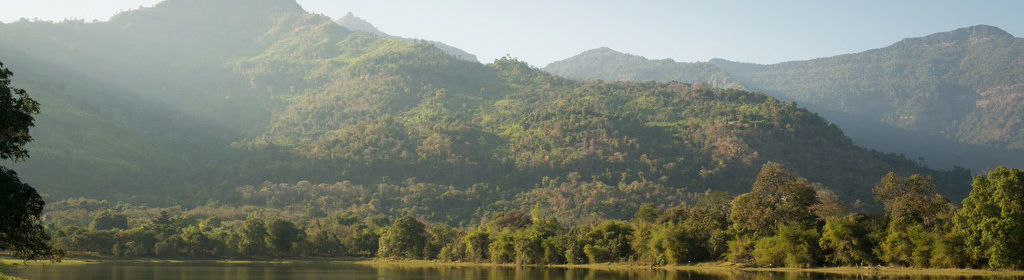
The religious complex of Vat Phou is of Khmer architecture and Hindu religion and is situated at the foot of a hill. The summit, the Phou Kao, immediately commands one's attention because of its shape, identified in ancient times with the linga, the phallic symbol of Shiva, from which originated its ancient name, Lingaparvata, and its reputation as a sacred hill.

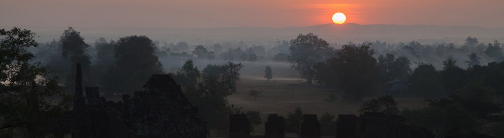
The permanent spring, at the foot of the cliffs, is probably one of the main reasons that induced the ancient rulers of the area to establish a shivaist sanctuary at this location. Associated with this religious complex, in the plain below, on the banks of the Mekong, is a pre-angkorian city, the remains of which (large earthen enclosure walls, brick monuments) are barely visible on the ground, although they appear quite clearly on aerial pictures. 

Since 1991, excavations have been undertaken by P.R.A.L. (Projet de Recherches en Archéologie Lao) with the aim of producing a precise archaeological map.

< >

Champasak Tourist Map 2024

Champasak Tourist Map 2024 is now available

8 Thematic Trails

8 trails are opened to visitors to discover Champasak

Map Vat Phou and Around - Pierre Pichard - EFEO - 1992

WHO World Heritage
Sites to go Smoke free